Feature:
1. STABLE AND ACCURATE: Land meter adopts measuring level high sensitivity GNSS receiver chip, uses six satellite system, covers the whole world, has high area measurement accuracy, good signals and easy satellite search
2. 4 MEASUREMENT MODES: Land meter supports area measurement(ordinary area, length width area, fixed width area, fixed point area); Distance measurement(general distance, fixed point distance, general oblique distance, fixed point oblique distance); Airborne measurement(rotating airborne, round trip airborne); Slope survey(general slope)
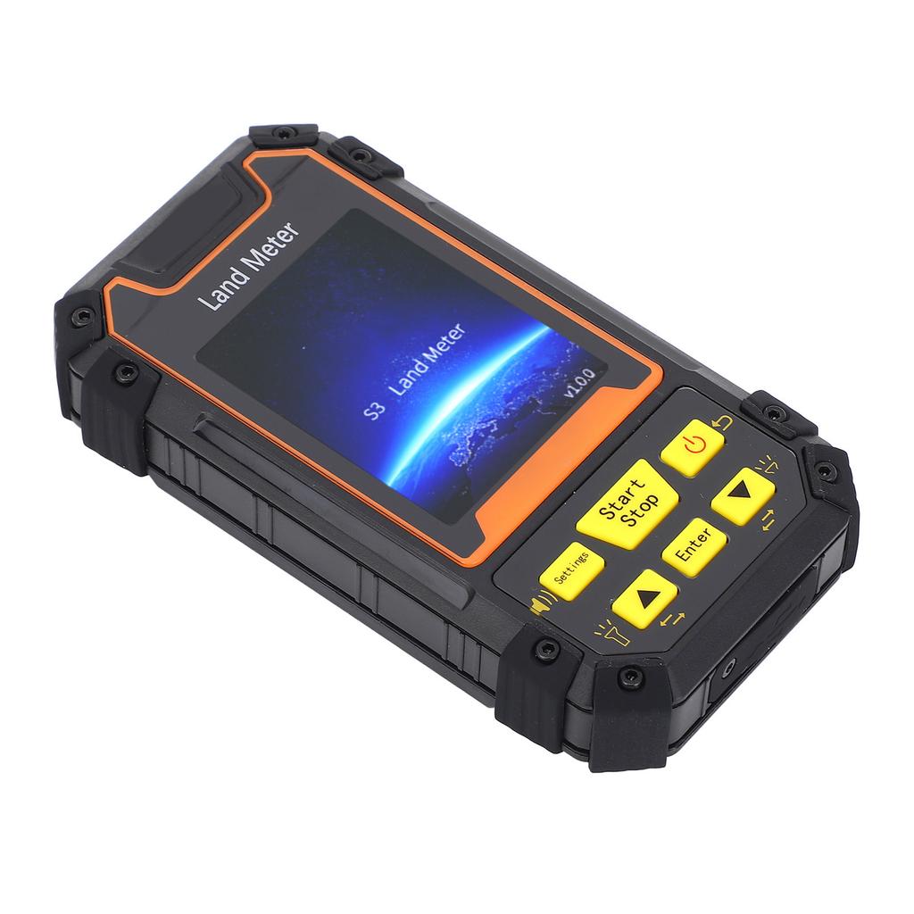
3. STRONG AND EASY TO USE: Land survey meter adopts industrial three prevention technology, water proof, dusts proof and fall resistant, long lasting. Equipped with big button, simple operating is not complicated, easy to get started
4. HIGH ACCURACY: Land measure meter can also guarantee the use of accuracy in the outdoor place without mobile phone signals, no extra charges, can be placed on the vehicle measurement, suitable for all kinds of agricultural machinery
5. PRACTICAL FEATURES: The mini portable handheld land area meter allow you to view trajectory graphics in real time while in use, and also view graphics in records after saving
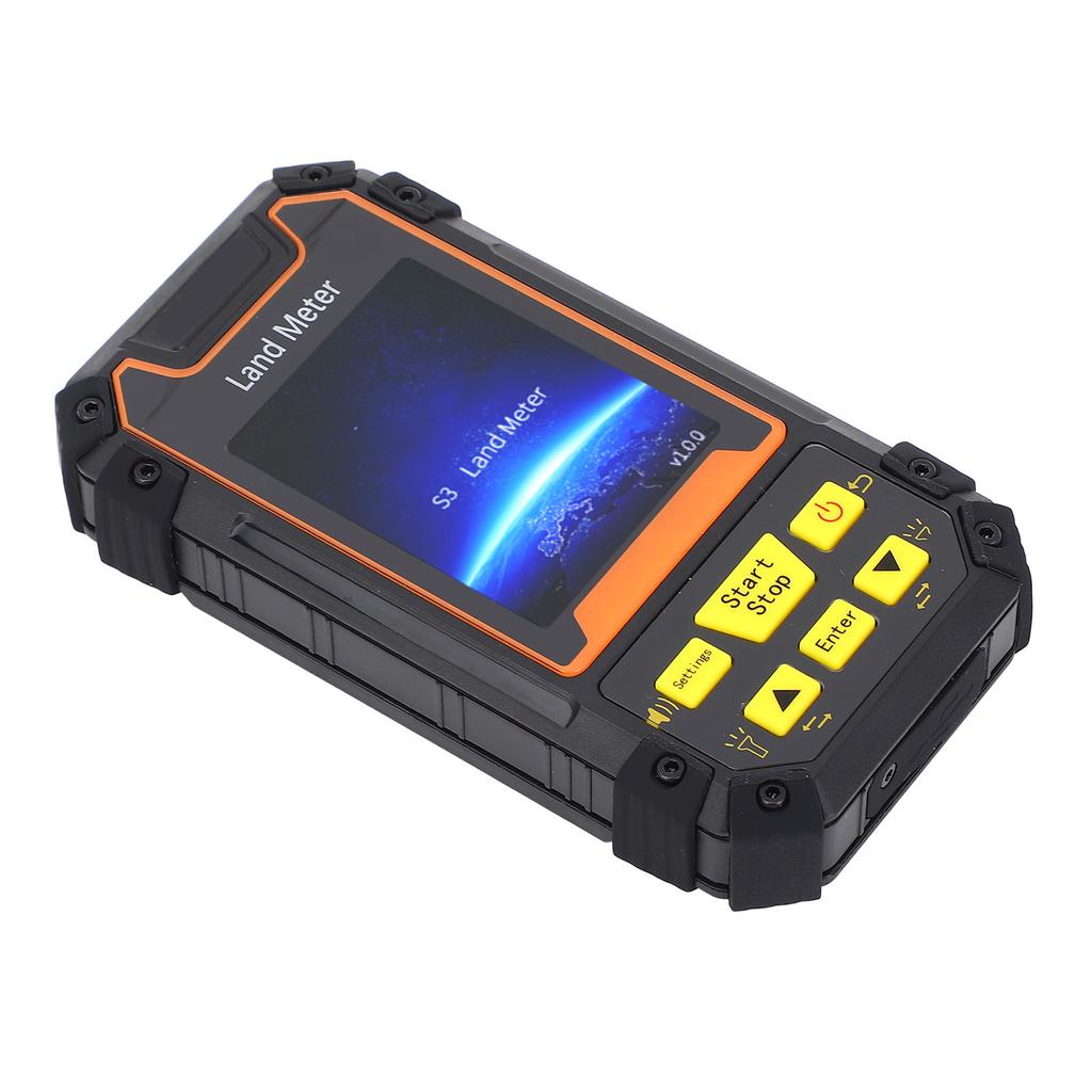
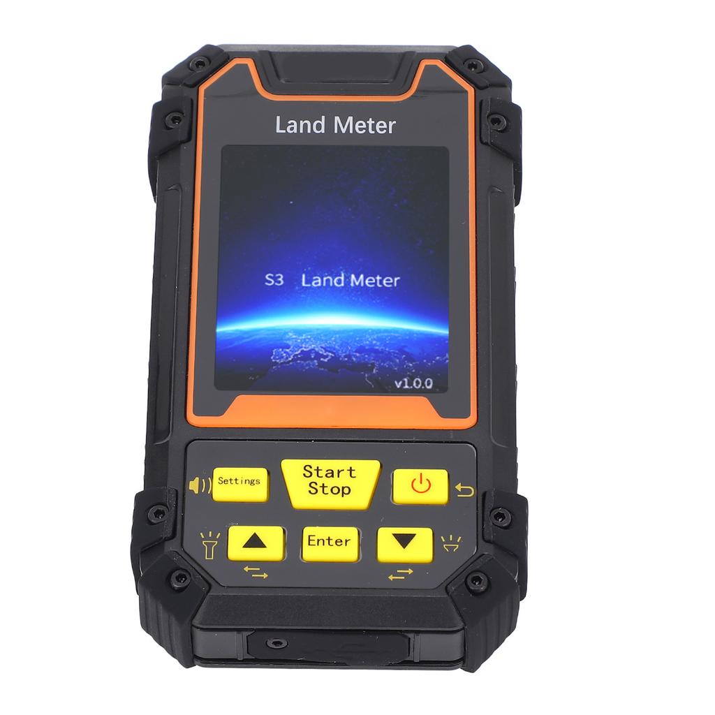
6. LARGE SCREEN AND LARGE VOLUME: The land surveyor area measurement tool adopts a 2.4in color large screen, simple and generous, and can be clearly read in the sun. With live voice broadcast(English), loud volume prompts, noisy environment can be heard clearly
Specification:
Item Type: Land Meter
Model: S3
Position Accuracy: 2.5m
Initial Pressure Calibration: No
Normal Area Measurement: Yes
Mountain Area Measurement: No
Fixed Point Measurement: Yes
Fixed Width Area Measurement: Yes
Normal Distance Measurement: Yes
Manual Distance Measurement: Yes
Height Display: Yes
Height Measurement: Yes
Trajectory Display: Yes
Unit Setting: Yes
Time Display: Yes
Data Statistics: Yes
History Record: Yes
Lighting, Currency Detection: Yes
Dry Battery: Yes
Li ion Battery: Yes
Data Storage: 200
Voice Broadcast: Yes
Data Export: No
Receiver Chip: High sensitivity GNSS receiver chip
Receiver Antenna: Passive large size planar antenna
Efficient Startup: Hot start 1 second, cold start 30 seconds
Area Accuracy: +0.005 acres (0.160.5 acres), +1percent (over 0.5 acres)(when HDOP is less than 1.0)
Distance Accuracy: +1 meter (within 100 meters when HDOP is less than 1.0)
Feature: Latitude and longitude display, altitude display, area measurement, distance measurement, land price calculation
Data Statistics: Area statistics, distance statistics
Area Records: 200 Entries
Distance Records: 200 Entries
Trajectory Display: Real time display of trajectory during measurement, can also be viewed in statistical records
HDOP Setting: Custom HDOP Setting
Screen Display: Color screen (2.4 inches)
Audio Prompt: Voice broadcast
Operating Temperature: 20 celsius ~70 celsius
Storage Temperature: 30 celsius ~80 celsius
Data Interface: USB interface, can be charged via this interface
Battery: 1 x 3.7V li ion battery 1800mah.
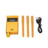
Package List:
1 x Land Surveying Instrument
1 x User Manual
1 x USB Cable
1 x LanyardSTABLE AND ACCURATE: Land meter adopts measuring level high sensitivity GNSS receiver chip, uses six satellite system, covers the whole world, has high area measurement accuracy, good signals and easy satellite search
4 MEASUREMENT MODES: Land meter supports area measurement(ordinary area, length width area, fixed width area, fixed point area); Distance measurement(general distance, fixed point distance, general oblique distance, fixed point oblique distance); Airborn
STRONG AND EASY TO USE: Land survey meter adopts industrial three prevention technology, water proof, dusts proof and fall resistant, long lasting. Equipped with big button, simple operating is not complicated, easy to get started
HIGH ACCURACY: Land measure meter can also guarantee the use of accuracy in the outdoor place without mobile phone signals, no extra charges, can be placed on the vehicle measurement, suitable for all kinds of agricultural machinery
PRACTICAL FEATURES: The mini portable handheld land area meter allow you to view trajectory graphics in real time while in use, and also view graphics in records after saving